Kainantu › Δύση: Aiyura Airport
![]() Kainantu, Παπούα Νέα Γουινέα
Kainantu, Παπούα Νέα Γουινέα
Real-Time Environment
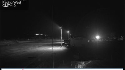
Welcome to the live streaming webcam for Kainantu › Δύση: Aiyura Airport, perfectly situated in the vibrant region of Kainantu, Παπούα Νέα Γουινέα. Watching this live camera allows you to instantly experience the local atmosphere and monitor current climate conditions.
About Kainantu
Kainantu is a town in the Eastern Highlands of Papua New Guinea. It had some historical significance as an airstrip town during WWII. It functions primarily as a market town for local produce growers and cash croppers. It is located on the "Highlands Highway" approximately 170 kilometres (110 mi) by road west of Lae and 90 kilometres (56 mi) by road east of Goroka. It is 11 kilometres (6.8 mi) approx from a nearby missionary station Ukarumpa and is nearby the Aiyura valley. Kainantu has basic facilities such as a school, hospital, police station, district court, and service stations.
📖 Read more on Wikipedia📍 Location Facts
-
Country
 Παπούα Νέα Γουινέα
- Region Eastern Highlands
- City Kainantu
- Coordinates -6.3365°N, 145.8845°E
Have you been to Kainantu?
Help the community! Share your experience, tell us about the weather, or upload your own photos from this exact location.